UNDERSTANDING TERRESTRIAL LIDAR SURVEY
The OcculAIR Difference

Progress is always accessible
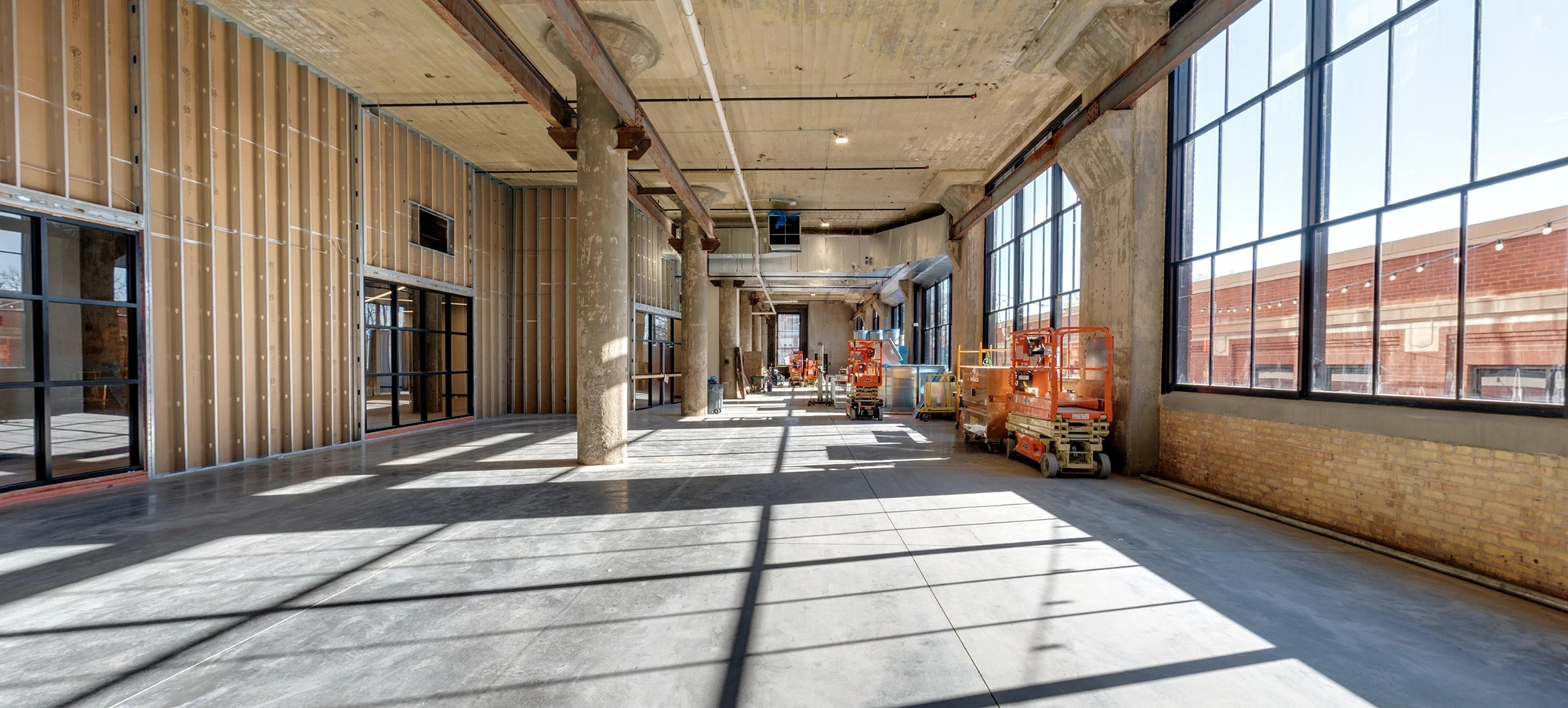
Offer stakeholders a peek into your construction projects without the hassle of on-site visits. Our tours are crafted to present an in-depth look into every stage of your project.

Detailed and thoughtful approach
Our focus isn’t just capturing images. We prioritize the essence and intricacies of your construction site. From groundworks to finishes, each tour is a reflection of our commitment to excellence.
OUR AS-BUILT SCANNING SERVICES
In addition to our terrestrial LiDAR Services Fort Wayne, our As-Built Scanning solutions provide highly accurate 3D laser scans of existing conditions, offering real-world data that improves decision-making for renovations, retrofits, and facility management. Leveraging advanced LiDAR technology, we document complex structures with millimeter precision, ensuring that as-built data aligns perfectly with the realities of your project.
- LiDAR Scanning: Capture detailed scans of structures for post-construction verification.
- 3D As-Built Models: Create precise 3D models that reflect the true state of your project.
- Facility Management Support: Utilize as-built models for future renovations or maintenance.
Benefits:
- Ensure accuracy in documentation for renovations or upgrades.
- Minimize risks associated with project deviations.
- Create a reliable digital twin for long-term facility management.
SCANNER SELECTION: TAILORED TO NEED
Our process
01
Reach out
Begin by detailing your requirements. Upon receiving your request, you’ll get a confirmation through a dedicated portal where all communications and files will be centralized.
02
Capture session
Our experts will arrive on-site to capture high-fidelity visuals, ensuring every detail is highlighted.
03
Tour presentation
Within 1-2 weeks, get a preliminary view of your tour. Fine-tune it as per your preferences before finalizing.
OUR LIDAR PROCESS: PRECISION MEETS EFFICIENCY
Post-scanning, the ‘Registration’ phase commences. Here, each of our individual scans is seamlessly fused, crafting a holistic and comprehensive 3D model. Every project concludes with our rigorous quality audit, ensuring our clients receive nothing short of the best.


